Phillips Farm Interpretive Hiking Trail
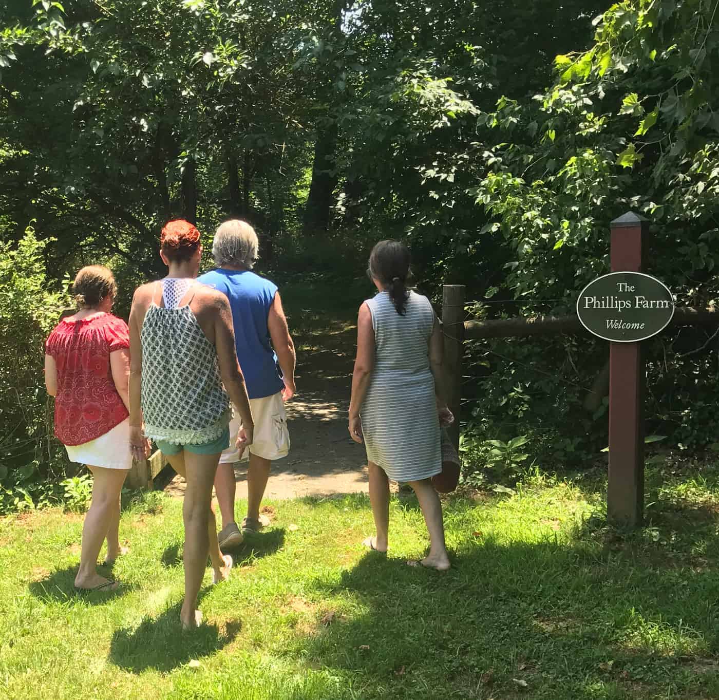
Trail head behind the Old Mill
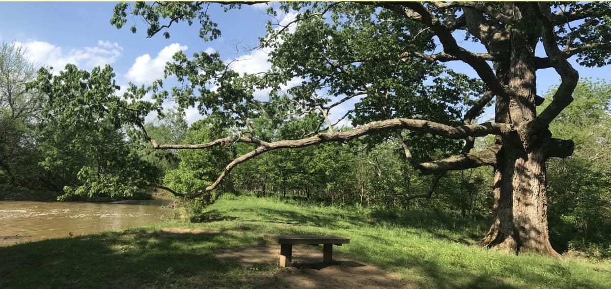
This leisurely hike (1.5 round trip) starts at the Old Mill at the bottom of Main Street. The trail starts behind the mill. It is almost completely flat. It is an interpretive trail going through the Phillips Farm and details the natural and cultural history of the property, with numbered posts corresponding to points of interest. The land once belonged to the Phillips family back in the 1700s.
Since 1943, the community of Waterford and the Waterford Foundation have worked hard to preserve the open spaces within and around the Village. We invite you to visit and enjoy these spaces, and to treat them with care so that future generations may enjoy them, too. You may wish to make a donation to the Foundation and help support the trail.
The trail follows the Catoctin Creek meandering through old farm land. During the summer the meadow is be a great spot for spotting monarch butterflies as it is full of milkweed.
Please follow the Rules of the Trail.
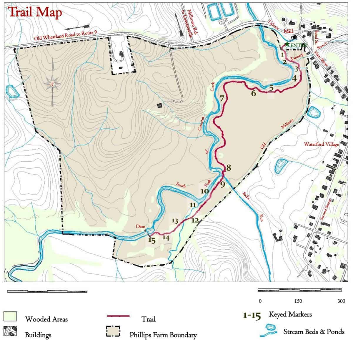
Print the Phillips Farm Trail Map and Guide provided by the Waterford Foundation
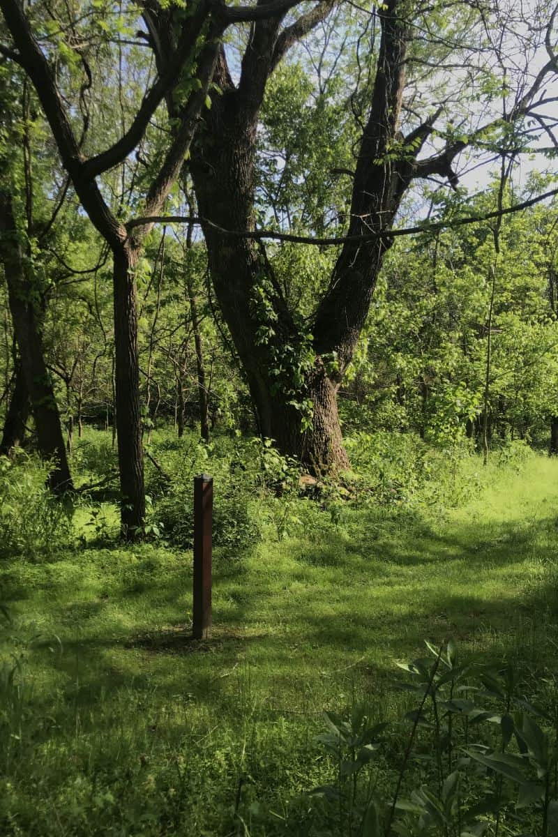
Trail Markers
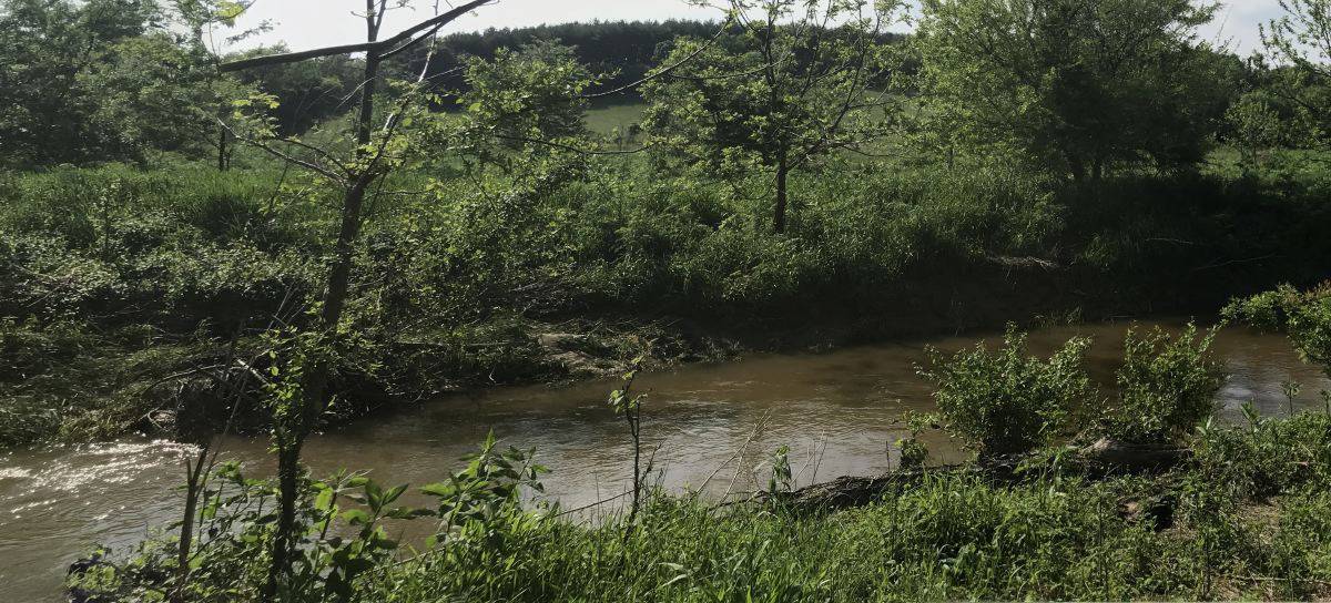
1. South Fork of Catoctin Creek
The power potential of the South Fork of Catoctin Creek helped draw skilled Pennsylvania Quakers in the mid 1700s to settle what is now Waterford. For 200 years the stream powered grain, saw and woolen mills, including the three story brick mill still standing. But the creek was also an obstacle to transportation and dangerous to ford during high water. The current bridge is just the latest of many. A covered wooden bridge panned the creek from the 1830s until it was swept away in the 1889 storm that caused the Johnstown Flood disaster in Pennsylvania.
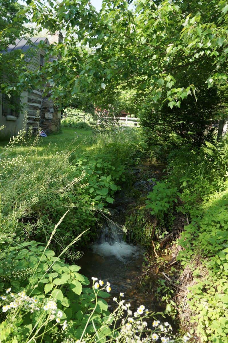
Tannery Creek
2. Tannery Branch
As you look upstream, Tannery Branch flows from springs a few hundred yards to the left, beyond Bond Street. From the late 18th to late 19th centuries it supplied water to a tannery at Main and Liggett Streets that processed hides into leather for cobblers, saddlers, and harness makers. Visible in the eroded banks here are gray seams of clay. Such deposits were dug, shaped and baked into the bricks that built much of Waterford. In the mid 20th century, clay drain pipe was installed under much of the nearby floodplain to make it suitable for farming. Water still pours from pipes visible along the eroded creek bank. The modern plastic pipe you see drains water from cellars along lower Main Street.
3. Monarch Butterflies

Tagging a monarch butterfly on the Phillips Farm
In the summer, common milkweed is in bloom here. Female monarch butterflies will lay their eggs only on milkweed, the sole host plant for monarch caterpillars. The plentiful milkweed on the Phillips Farm has earned it formal recognition as a “Monarch Way Station” by the Monarch Watch Organization.
4. Various Habitats
Phillips Farm offers a wide variety of habitats for wildlife — floodplain, stream, riparian buffer, deciduous woodland, hedgerows, and meadows. Here on the floodplain, you find such water-loving plant species as the graceful river birches, willows, and the majestic sycamores. You can find over 30 species of birds, including belted kingfishers, red-winged blackbirds and great blue herons.
5. Riparian Buffers
Riparian buffers are vegetated areas along waterways that help protect the water from pollution, stabilize stream banks, and provide streamside habitat for wildlife. Water loving shrubs (such as gray and silky dogwood, buttonbush and elderberry) have been planted here by the Loudoun Wildlife Conservancy to restore the riparian buffer.
6. The Civil War
During the Civil War, Phillips Farm suffered. Quaker Thomas Phillips was a pacifist, but troops from both sides helped themselves to his horses and crops. A sister lamented, “. . . it is really too bad for him to be treated so.” In October 1862, after the Battle of Antietam, a Federal infantry division paused at Waterford for several days on its way south. Soldiers camped here and on nearby farms. In July 1863, after Gettysburg, thousands of Union troops poured into Waterford; many set up camps along Catoctin Creek. Quakers offered “grass for thy horses, a fine spring for thy men and beasts, and ricks of cordwood for thy cooking.” But the following year Federal troops burned the Phillips barn.
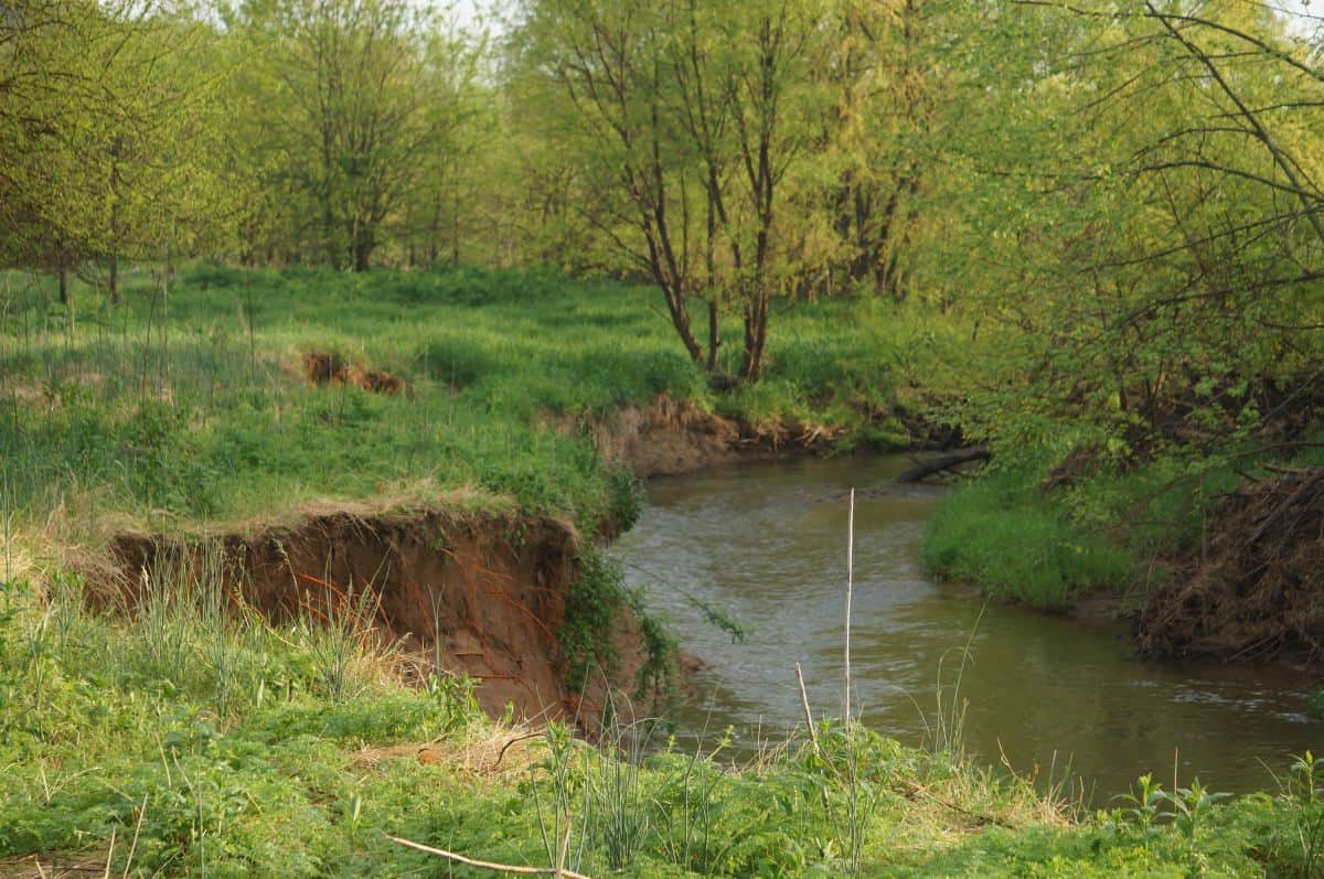
Catoctin Creek Stream Banks
7. Eroding Stream Banks
The eroding stream banks here offer nesting habitat for northern rough-winged swallows. Please be aware that the banks are very unstable. This accelerated erosion, as well as area land use practices, impact the quality of Catoctin Creek. Volunteers assess the quality of the creek and the surrounding environment three times a year and provide the data to appropriate state agencies. Bottom-dwelling aquatic insects such as mayfly, caddisfly and stonefly larvae are biological indicators of good water quality.
8. Bluebird Trail
The main trail continues to the right. If you continue ahead a few yards, you’ll come across the Bluebird Trail. Eastern bluebirds dwell on the Phillips Farm year round. Their numbers have declined nationwide due to habitat loss and competition from invasive bird species. If you follow the tree line along the millrace, from the mill to this point, you can see a “bluebird trail” of seven nesting boxes. The stovepipe below each box blocks climbing predators. Volunteers monitor the boxes from March through August. With the help of man-made trails
such as these, bluebird populations are recovering.
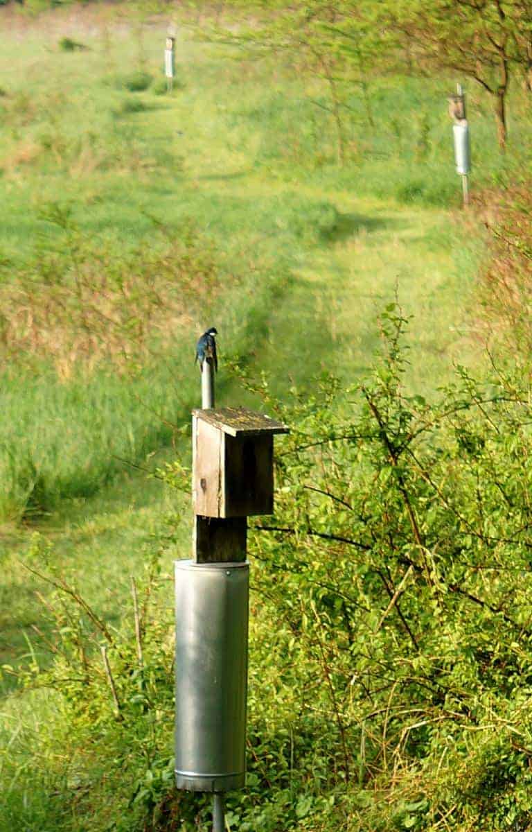
Bluebird on its nest
Continuing straight from Marker 8 leads to the Schooley MIll Barn
9. Ball’s Run
Ball’s Run, which here joins Catoctin Creek, once powered two Waterford mills a few hundred yards up-stream. But it presented a problem for owners of the mill at the foot of Main Street, who had dug a channel or millrace to carry water from a dam farther upstream on Catoctin Creek and needed to get that water past the Run, which flowed at a lower level. In the early years they probably built a wooden trough or aqueduct to carry the water over Ball’s Run. By the early 1900s, though, they had dammed the Run to bring it up to the level of the millrace. Then, by way of sluice gates, they could divert its water into the race to augment the flow to the mill in dry seasons. The over-flow was known as “The Chute,” and below the dam was a favorite swimming hole until time and repeated floods took their toll. Today only a stone buttress or two and scattered chunks of concrete mark the site of the dam. A short path to the left takes you to the spot.
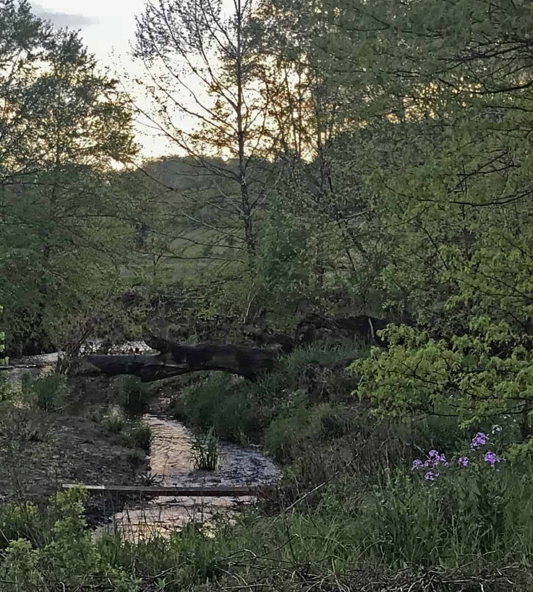
Foot bridge to Marker 9
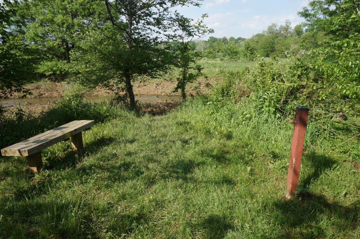
Bench at Marker 9
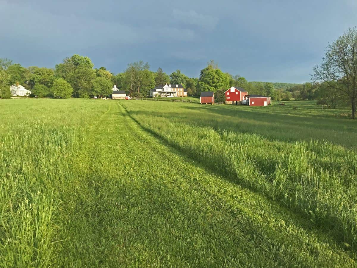
10. Family Farm
For 150 years this property flourished as a diversified family farm. In 1850 it produced wheat, corn, oats, beef, milk, butter, wool, hay, horses, pork, poultry, eggs, fruit and honey, as well as potatoes and other garden crops. The small white barn you see on the hillside shelters the machinery used today for haying the surrounding fields.
View of the old farm land
11. Invasive Plants
Invasive plants such as multiflora rose, tree of heaven, autumn olive, Japanese barberry, and Canada thistle have been encroaching into the Phillips Farm environment for some time and are overtaking habitat of native flora. The tallest tree in front of you is a tree of heaven. The Management Plan for the Phillips Farm includes efforts to control the growth of invasive species, particularly in this area.
12. Millrace
Here a small wet weather stream intersects the old hand-dug millrace, visible from the path at the left. Hikers can follow the dry bed of the race back to Ball’s Run at the site of “The Chute.” This channel, some two-thirds of a mile long, in all, was dug by hand, probably around 1760. Etched in the cement cap of the low stone containment wall here, is the date October 28, 1928, the initials of the last miller, William S. Smoot, and those of his 17-year-old helper, John E. Divine, who later helped preserve much of Waterford’s history.
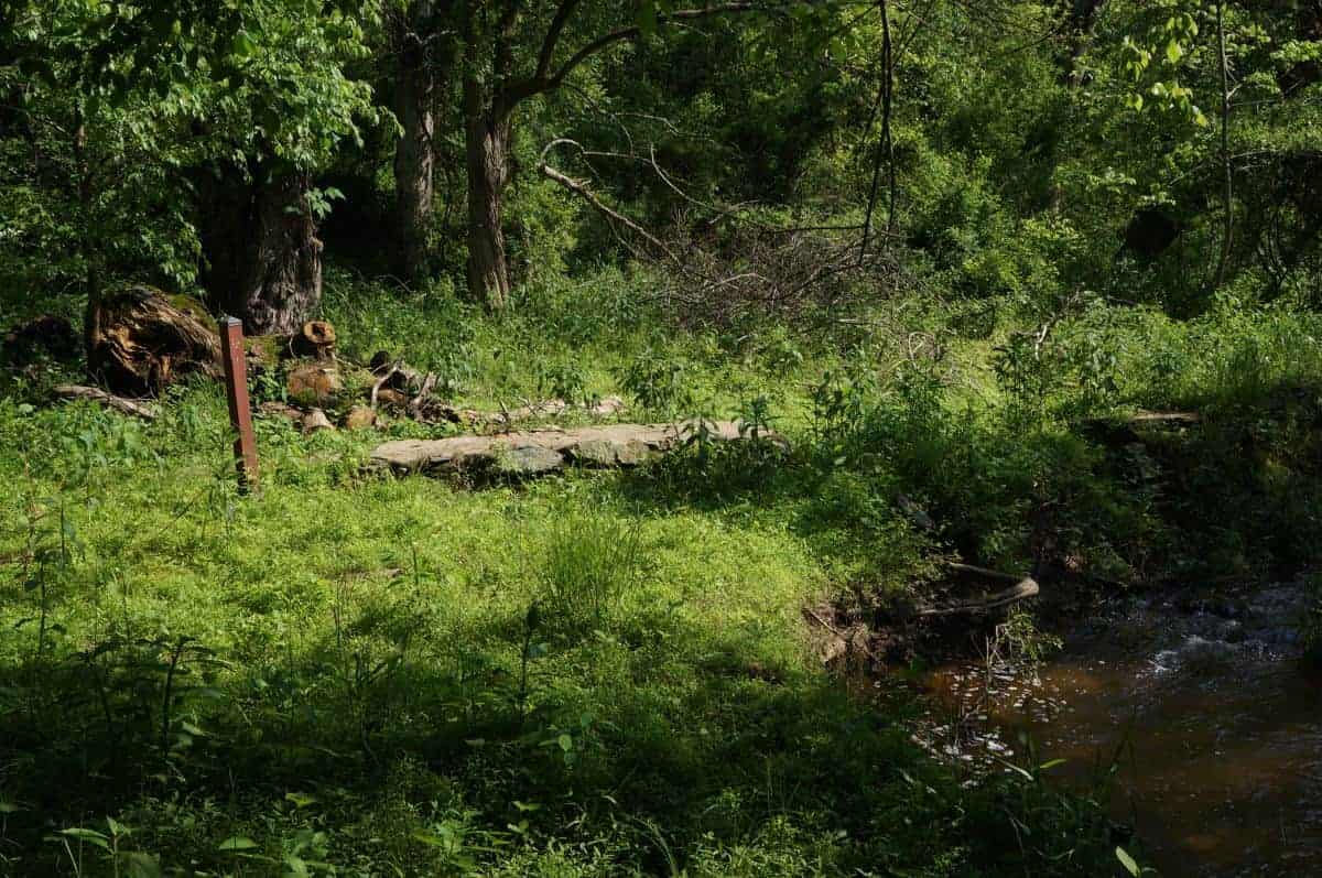
Start of the millrace
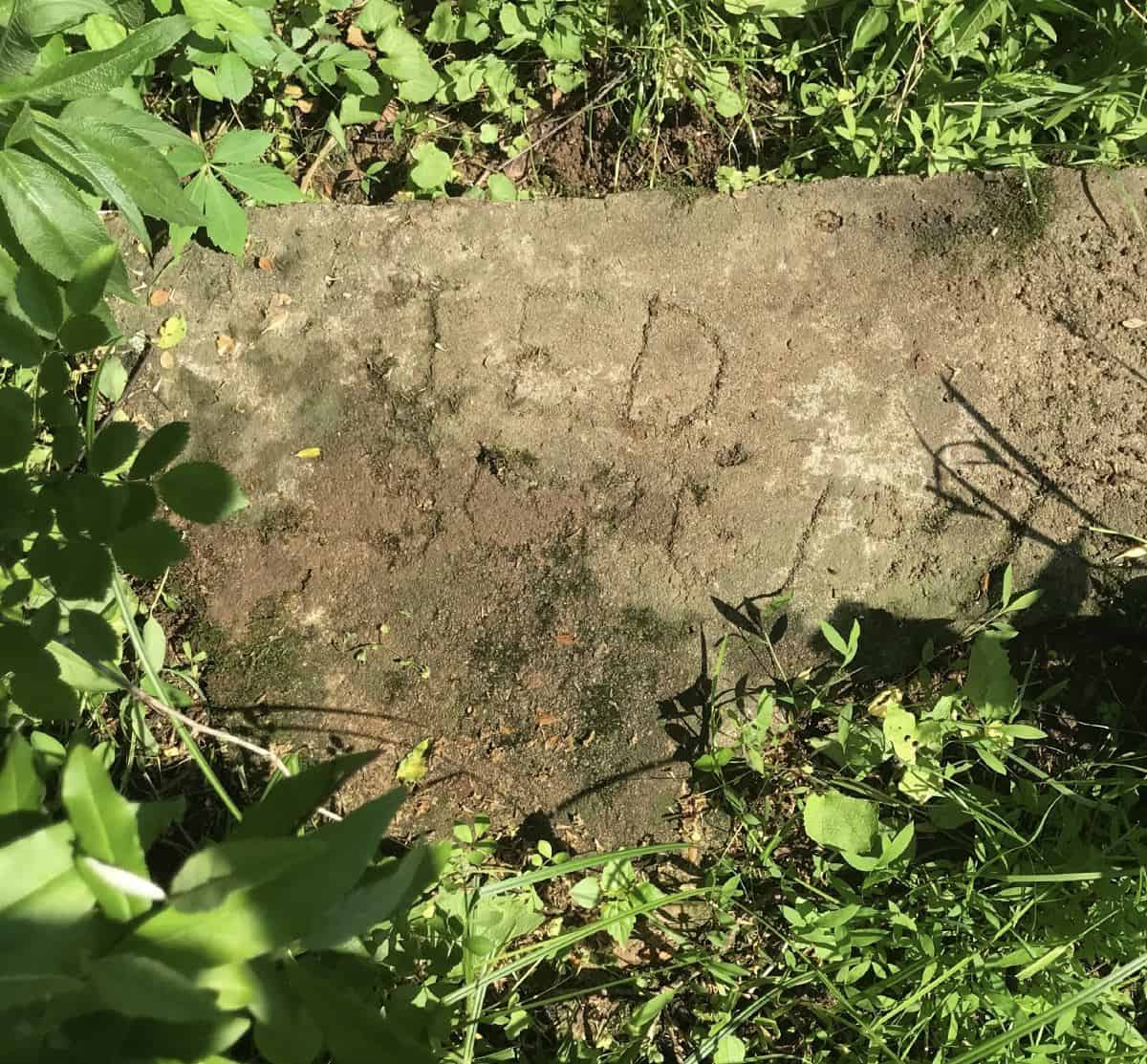
John Devine's initials at the start of the millrace
Old green ash on the trail
13. Green Ash
The large tree here is a green ash, an aging survivor of the 19th century. It and other ashes on the farm face an uncertain future with the recent arrival in the Washington area of the emerald ash borer, a destructive beetle native to Asia.
14. White Oak
The glorious white oak in front of you may have witnessed the Quakers’ arrival her in 1733, as well as construction of the dam. Its long, low branches indicate that it did not grow in a forest. Local villagers have nicknamed it “Old John” in memory of John Hough (1720-1797), a Waterford Quaker who owned thousands of acres and a number of mills in Loudoun. White Oaks were favored by early settlers for building baskets, barrels, flooring, furniture, and many other uses. Native Americans made flour from the acorns.

200 year old oak "Big John" on Catoctin Creek
"Big John" next to Catoctin Creek
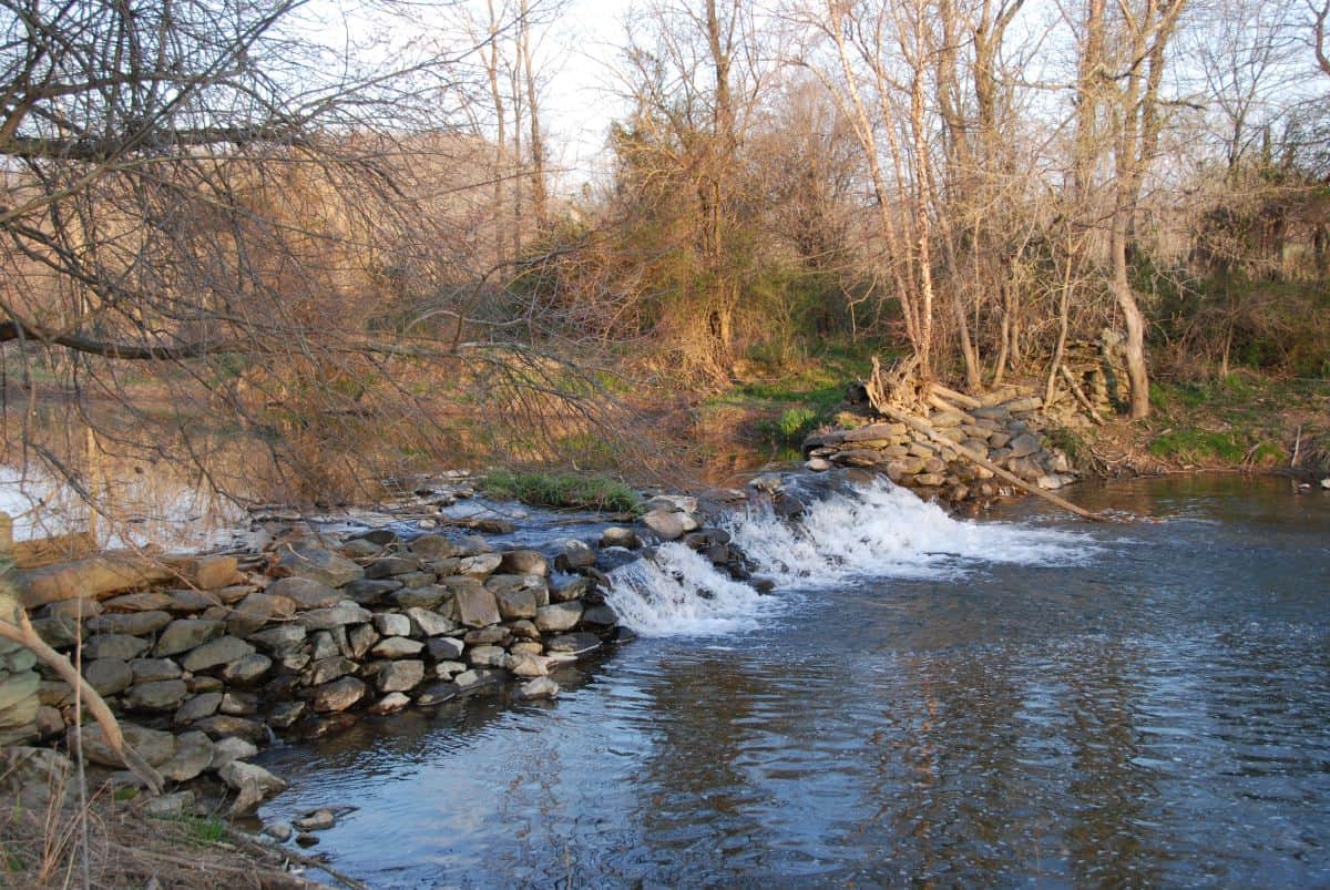
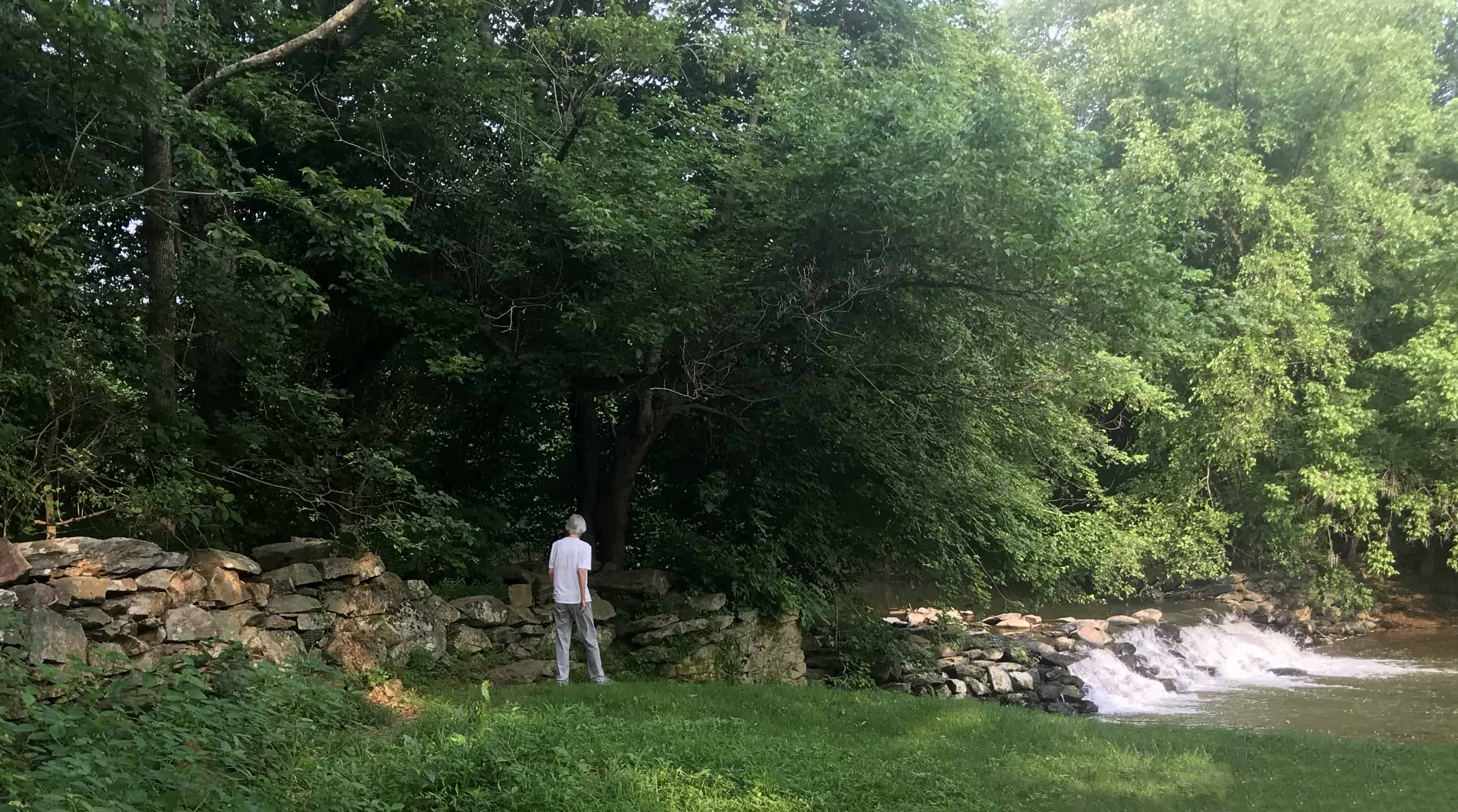
Catoctin creek dam at the end of the Trail
15. The Mill Dam
The mill dam, like the race, dates from 1760. Consider how laborers managed to collect, move, and place such large boulders with no more than human and animal muscle. The dam once stoop a few feet higher-enough to raise the level of the impoundment more than 12 feet above the outflow from the wheel at the mill. In 1908 at the near end of the dam, miller William M. Fling signed his name in wet concrete he used to cap and reinforce the dam. A bit beyond the dam, in 1814, African American Benjamin Kins and wife Letitia bought two acres spanning the creek and build a house. They were among the first black families in the area to own their own land. Benjamin had been born a slave in Calvert County, Maryland, about 1770, but owner John Talbott freed him when the Quakers abolished the use of slave in 1776. Talbott Farm remains today just southeast of the village.
Old stone wall by the dam
Many bird species make the farm their home
Bluebird • Tree, Northern rough-winged, and Barn swallows
Great blue heron • Green-backed Heron
Belted kingfisher • Carolina wren
Cedar waxwing • Eastern phoebe • Common yellowthroat
Red-winged blackbird • Baltimore and Orchard orioles
Red-bellied and Downy woodpeckers
Ruby-crowned kinglet • Blue-gray gnatcatcher
Red-tailed and Red-shouldered hawks • Barred owl
Osprey • Black and Turkey vultures
Rules of the Trail
Please help us protect the farm's resources.
• For your safety, please stay on the posted trail.
• Please keep pets on a leash and remove their waste.
• So that others may enjoy this special place in the future, help us protect all animals, plants and cultural resources. Please do not collect or distribute plant or animal life or feed the wildlife.
• For public health and safety reasons, there is no hunting, trapping, swimming, horseback riding, biking, use of motor-ized recreational vehicles, camping, smoking, firearms, fires, fireworks, or illegal use of drugs or alcohol.
• Please carry out what you carry in.
![]()
Access Policy for the Phillips Farm
Welcome!
Since 1943, the community of Waterford has worked hard to preserve the open spaces within and around the Village. You are invited to visit and enjoy these spaces, and to treat them with care so that future generations may enjoy them, too.
The Virginia Outdoors Foundation (VOF) holds a conser-vation easement on the Phillips Farm, ensuring that it will be preserved much as you see it today in perpetuity. Its significance to the Waterford National Historic Landmark District is such that any change to its use or appearance could threaten this national heritage designation.
You are asked to walk only on the mowed trail and observe the above Rules of the Trail designed to enhance your enjoyment of the property and to protect your health and safety. They also serve to protect the environmental quality, agricultural value and open space integrity of the farm.
The Waterford Foundation extends a warm invitation to become directly involved in the Phillips Farm's ongoing activities. Please email the Foundation, , for more information.